Hydrotest PowerTool will be released soon!

Hydrotesting remains one of the most reliable ways to verify the integrity and pressure limits of your pipeline system. But traditional planning methods, like spreadsheets and disconnected systems, can make the process slower, riskier, and harder to scale. That’s why we created the Hydrotest PowerTool.
Hydrotest features:
- Sectioning based on elevation, class location, available water volume, among other criteria
- GIS integration that can leverage map elevation data
- End-to-end process to create a hydrotest plan that can be used in the field
Hydrotesting is used to determine and verify the maximum allowable safe operating pressure and the integrity of the pipeline using water to confirm that pressure does not bleed off during a sustained pressure test. The new Hydrotest PowerTool in the Pipeline HUB allows you to quickly generate an effective test plan by leveraging map elevation data, as well as pipe attribute data in your company’s asset database, to make good decisions about test sectioning while reducing your manual data entry efforts. The Hydrotest module provides a way to calculate the number and location of test sections, high- and low-test pressures, percent of MAOP and percent of SMYS, pipe profile, calculated water volume requirements, and other key pieces of an effective hydrotest plan. This module assures that the test pressure(s) fall within the specified pressure limits of each test section to validate the integrity of the pipe.
To find out more about how Hydrotest can improve your operations, contact us today at [email protected]
Suggested Post
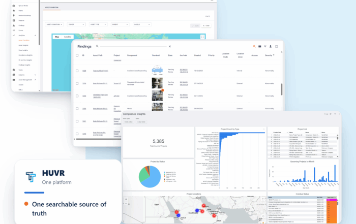
The Inspection Data Problem Is a Business Risk. Here’s What Operators Are Doing About It- with HUVR
The Inspection Data Problem Is a Business Risk. Here's What Operators Are Doing About [...]

Modern Gas System Modeling: Why Magnolia River Trusts GASWorkS to Keep the Pressure Up (Literally)
Modern Gas System Modeling: Why Magnolia River Trusts GASWorkS to Keep the Pressure Up [...]
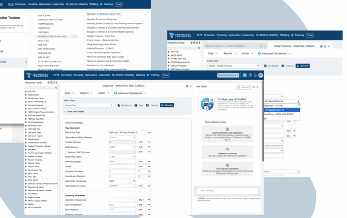
Engineering Calculations Built for Utility Pipeline Teams
Engineering Calculations Built for Utility Pipeline Teams By Kesley Price Pipeline engineers have relied [...]