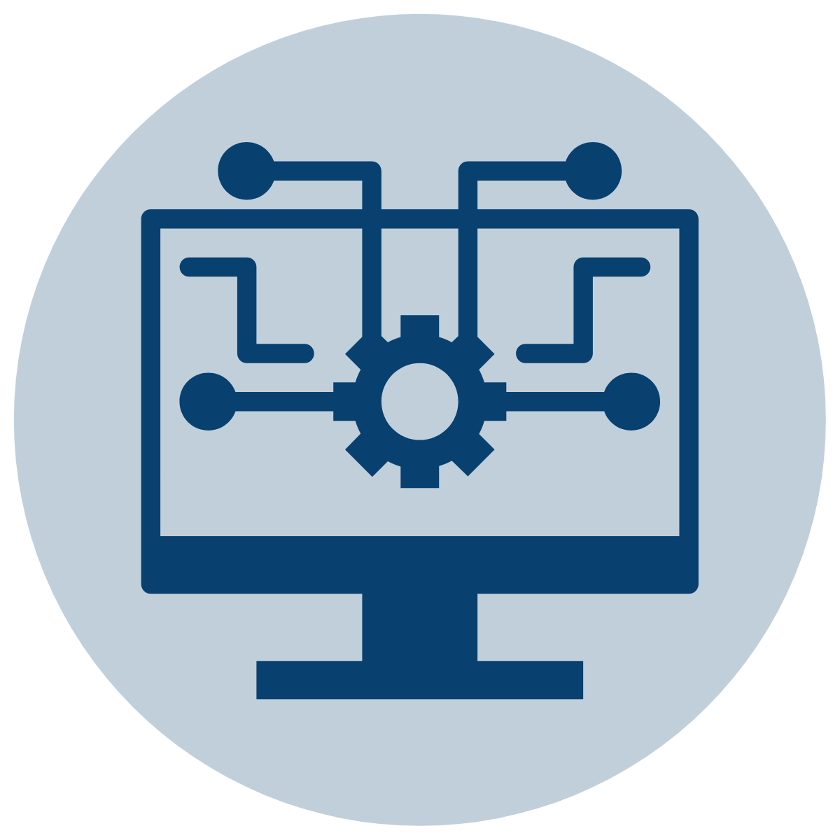
What you’re getting with AC Mitigation Powertool

 Comprehensive Analysis
 Performance beyond spreadsheets


 Built on Industry Standards
Comprehensive Analysis
Performance beyond spreadsheets
Built on Industry Standards
Technical Toolboxes is a leading provider of pipeline analytics capabilities and data management.
10370 Richmond Ave., Suite 1150
Houston, TX 77042
Main Line: (713) 630-0505
Support: (713) 379-8066