WF Crossing Module release has the following new capabilities:
- Automation will cut calculation times by 50-75%
- Less data input with lots of output for multiple crossings
- Integrated into HUB and ArcGIS
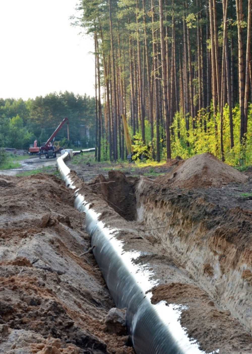
The WF Crossing Module enables the engineer or technician to access multiple pipeline crossing locations simultaneously in a variety of environments, which include depth, types of soils, different types of pipe, sizes, wall thickness and trench sizes in seconds. The design of this module allows multiple scenarios to be run without extensive manual input by using Technical Toolboxes new HUB. This allows total integration of ArcGIS, attribute and input data to calculate multiple crossing locations. This Module allows the user to automate these multiple calculations in minutes, not one at a time anymore, saving time and reducing the opportunities for error inherent in manual input of data.
2025 Update: WF Crossing Module Today
In 2025, the WF Crossing Module is built for scale, speed, and audit confidence.
- Expanded automation allows teams to run large sets of crossings in minutes, not one at a time
- Deeper ArcGIS integration lets crossing locations and attributes drive calculations directly from spatial data
- HUB-centered workflows reuse pipe, soil, and asset data across crossings to reduce rework and input errors
- Audit-ready outputs support traceable, repeatable calculations for reviews and compliance checks
The result is fewer handoffs, faster decisions, and more confidence when designs change late in the project.
To find out more about how the WF Crossing Module can improve your operations, contact us today at [email protected]


