Ancient Roman Construction and Modern Pipeline Work
By Joe Pikas
It’s interesting to note that it is easier to find ancient Roman history documentation about its infrastructure system (i.e., all roads lead to Rome), buildings, water/viaducts and stadiums, than find a document about a U.S. pipeline built within the last 50 years. How are we to comply with the Protecting Our Infrastructure of Pipelines and Enhancing Safety (PIPES) Act of 2020?
Lessons from Roman Roads: A Groma, a Transit, and a 42-Inch Pipeline
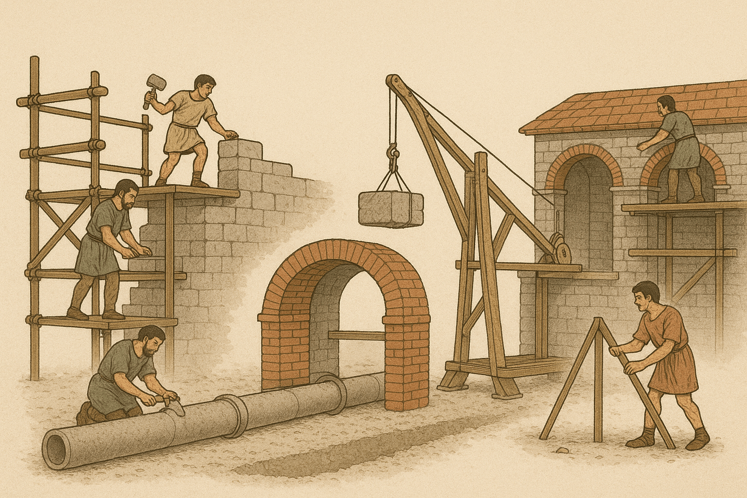
I just read a great article in National Geographic on the ancient Roman Roads linking that world to our reality. What interested me at first glance was the groma (transit) that was used to build roads and other infrastructures. It brought back memories of my pipeline engineering construction days. My first job with a large pipeline company was the 1966 construction of one of the first 42-inch pipelines in the U.S., located in New Jersey, near Washington’s crossing on the Delaware River, to Princeton and then to Morgan, N.J.
Reading the article, I realized the methods and instruments used on that project were similar to the Romans’ groma. We used a K&E transit instrument, which is somewhat more advanced than the Romans’ use of poles for stakes and up to five plum bobs for alignment. Their “telescope” consisted of pacing back 100 steps and aligning the plum bobs. Conversely, we used crosshairs in a scope and probably yelled out the same commands to the guy who was putting in the stakes for alignment of the pipeline, compared to their setting poles for alignment of roads or other structures. What is interesting is that the Romans used polla (stone) tablets with inscriptions that date back to 132 BC, whereas we used yellow paper, field engineering survey books. You can say that their data survived wars, fires, and hackers over the years, compared to our common paper. I would even say that their data could survive a PHMSA audit and be traceable, verifiable, and completely compliant with little or no problems.
Pipeline Engineering Construction Procedures
The procedures for determining how, when, and where a pipeline is constructed are more complex today than the earlier 1950s and ‘60s installations.
Preliminary planning and route selection, including right-of-way acquisition, is more restricted. A good example is when pipeline operators are restricted to stay within the power line and other rights of way to minimize costs. Pipeline design now requires more HDD crossings, due to environmentally sensitive areas like wetlands and other water bodies. This also includes crossings of roads, railroads, and other (foreign) pipelines. There are many phases and details of pipeline construction, including:
• Clearing and grading
• Unloading, hauling, storing, and stringing of pipe
• Ditching, bending, welding, lowering, and laying pipe
• Determination of open cut, jack bore, HDD crossings
• Line pipe coatings, field joints, and tie-in welds
• Valves, isolating flanges, taps, test leads, and cathodic protection
• Cleanup and restoration
• Hydro testing and revenue operations
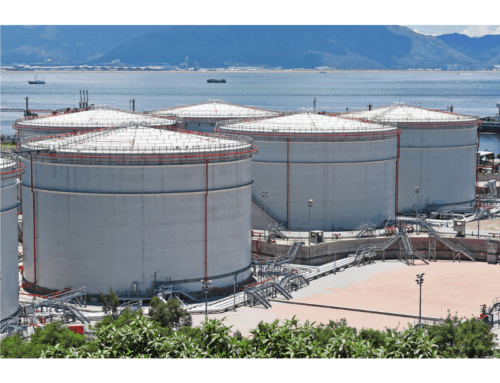
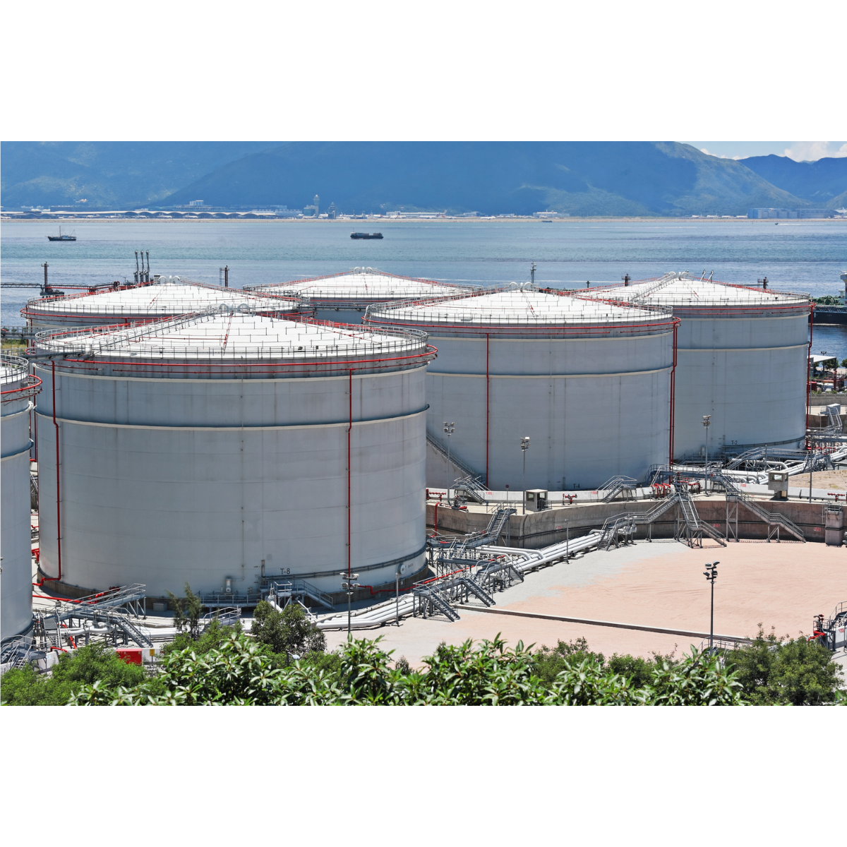
It should be noted that pipeline construction does not include compressor, pump, meter station, and related facilities. These are considered separate construction engineering projects. In addition, pipe manufacturing (mill) and coating applications must be done before any of these activities can begin. Ancient Rome versus today
Not too much in the way of specifications has changed since them ancient Romans. For example, here’s the wording on a pipeline construction specification:
Ditching
- Contractor shall dig the pipeline ditch at the designated offset or on the staked line provided by the company.
- When ditching across or adjacent to roads, highways, railroads, ditches, etc., where extra ditching is required, the contractor shall, at no additional cost, excavate the additional depth necessary to meet the requirements of the company.
It is interesting to note that the Romans used a public bidding process, and private contractors were awarded projects, like today’s standards. They also used criminals for their laborers and military engineers to design and supervise the work. Similarly, many of the Roman roads were built for military type of operations, not unlike the interstate highway system
That was originally built and started by President Eisenhower in the United States. Also, they used soldiers to fill in for labor from time to time.
Why Today’s Pipelines Still Depend on Techniques the Romans Would Recognize
Going back to my days, giving line-of-sight to set stakes, either over the pipeline route or an offset on the edge of the right-of-way, has not changed. I remember the contractor always trying to get out of the extra-depth requirement due to “hard digging.” We surveyor/engineers always made the depth deeper than required, and when the contractor asked for a break, we gave a few inches, but we were always within spec. The major change in the modern era has been GPS to set these same stakes, but someone still has to pound them into the ground. The same situation describes the type of construction
equipment to clear, grade, haul, unload, etc. Romans used wagons with mules or horses, versus today’s heavy-duty dump trucks, front-end loaders and graders.
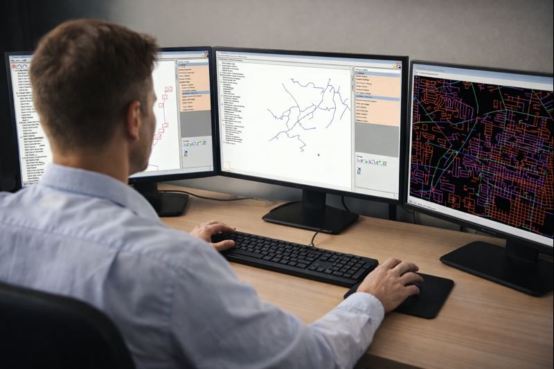
We also do not need the stone tablet anymore for permanent storage and retrieval. Data is now GIS-tied to engineering software, such as pipeline stresses, crossings, and pressure testing. And we make field engineering HDD changes, due to unanticipated soil layers or sink holes, using the latest mapping systems. Our construction projects can be completed in months, versus years, and still have pipelines that meet the specifications of the company, industry and regulations. However, the construction efforts back in the Roman era were remarkable.
Conclusion
Pipeline operators do not have the capability or longevity of the Roman polla tablets or their infrastructure today. If we have a functioning, undamaged pipeline 100 years old, we think it is a miracle. However, our GIS is becoming the cornerstone for running day-to-day operations, engineering design, and integrity programs to enhance public safety and the environment. As with all pipeline projects, safety begins with knowledge and the location of the existing pipelines. It also begins with addressing new pipelines in road/railroad/water crossings, AC and utility corridors, and encroachments. Construction issues include welding, pipe bending, lowering in a ditch, backfill, and depth of burial. New pipeline construction using engineering software integrated with GIS can assess the impact on pipeline stresses for long-term integrity.
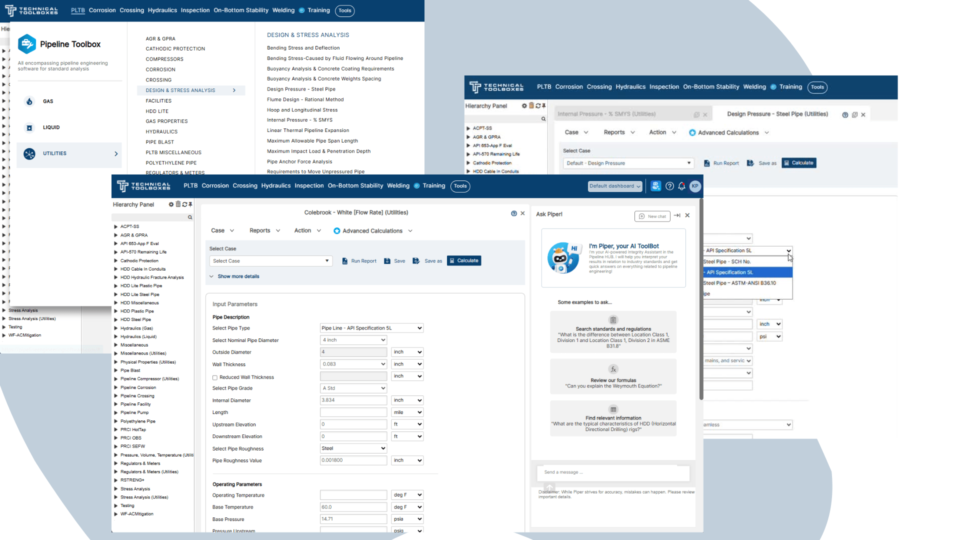
How Technical Toolboxes Advance the Roman Legacy
Technical Toolboxes provide an integrated desktop and cloud-based pipeline engineering software, online resources, and specialized training for pipeline engineering professionals around the world. The fit-for-purpose pipeline engineering software platform we offer will help you reduce risk, lower the total cost of operations, and accelerate project schedules. As pipeline engineering professionals embrace digital change, Technical Toolboxes’ legacy applications are evolving, from manual calculators into sophisticated, integrated, holistic analysis tools that enable users to make efficient, accurate decisions through a collaboration feature. The recently released Pipeline HUBPL platform automates integration and analyses for insights into infrastructure design and operational fitness. It connects a library of engineering standards and tools to users’ data across a pipeline lifecycle. Integrated maps allow geospatial analysis, visual reconnaissance of existing databases, and leveraging of disparate GIS data components.


